Spar
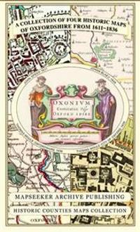
Oxfordshire 1611 - 1836 - Fold Up Map that features a collection of Four Historic Maps, John Speed's County Map 1611, Johan Blaeu's County Map of 1648, Thomas Moules County Map of 1836 and a Plan of Oxford 1836 by Thomas Moule. The maps also feature a number of Oxfords famous historic buildings.
This folded map (890mm x 1000mm when unfolded) is an ideal souvenir for tourists to Oxfordshire and also a valuable reference resource for local and family history research. It includes 4 Historic Maps of Oxfordshire.
- Forfatter
- Mapseeker Publishing Ltd.
- ISBN
- 9781844918140
- Språk
- Engelsk
- Vekt
- 104 gram
- Utgivelsesdato
- 15.5.2013
- Forlag
- Historical Images Ltd
- Antall sider
- 1
