Spar
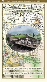
Shropshire 1611 - 1836 - Fold Up Map that features a collection of Four Historic Maps, John Speed's County Map 1611, Johan Blaeu's County Map of 1648, Thomas Moules County Map of 1836 and a Map of the Severn Valley Railway in 1887.The maps also feature a number of early views across Shropshire including the famous Ironbridge over the Severn and the Severn at Bridgnorth.
This folded map (890mm x 1000mm when unfolded) is an ideal souvenir for tourists to Shropshire and also a valuable reference resource for local and family history research. It includes 4 Historic maps of Shropshire.
- ISBN
- 9781844918447
- Språk
- Engelsk
- Vekt
- 102 gram
- Utgivelsesdato
- 1.1.2019
- Forlag
- Historical Images Ltd
- Antall sider
- 1
