Spar
Denali National Park And Preserve
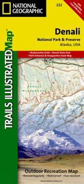
A necessity for exploring in the outdoors, Trails Illustrated topographic maps are detailed, up-to-date, and printed on waterproof, tear-resistant material. Denali National Park, in the Alaska Range, is crowned by Mount McKinley - America's highest peak at 20,320 feet. The map includes the entire national park area, with a close-up view of the area in and around Mount McKinley. It also includes useful tips about animal encounters, river crossings, hypothermia, and UTM grids for use with your GPS unit.
- Undertittel
- Trails Illustrated National Parks
- Forfatter
- National Geographic Maps
- Opplag
- 2025th ed.
- ISBN
- 9781566953283
- Språk
- Engelsk
- Vekt
- 93 gram
- Utgivelsesdato
- 2.8.2012
- Forlag
- National Geographic Maps
- Antall sider
- 1
