Spara
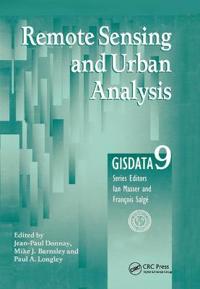
Remote Sensing and Urban Analysis
inbunden, 2000
Engelska

One of the key geographical developments over the last two centuries has been that of urbanisation. In recent years this has exploded globally, particularly in developing countries. It is essential for governments, planners and researchers in geography and allied fields to understand this process and the main way of being able to do this is to accurately map these changes. The main method of this mapping is Remote Sensing. This up-to-date analysis of the area looks at a wide range of methodologies currently being used to produce and analyse remotely sensed data of urban areas. The authors examine the various techniques used to extract information from digital, multispectral images of urban areas. Donnay and Barnsley then go on to look at the identification of urban forms, the delineation of agglomerations and the development of urban morphology, considering the analysis of integrated data sets and surface models and going on to look at the estimation of human population levels.
- Undertitel
- GISDATA 9
- Redaktör
- Jean-Paul Donnay, Mike J. Barnsley, Paul A. Longley
- ISBN
- 9780748408603
- Språk
- Engelska
- Vikt
- 720 gram
- Utgivningsdatum
- 2000-12-21
- Förlag
- Taylor Francis Ltd
- Sidor
- 304