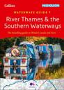
The bestselling guides to Britain's canals and rivers for 50 years.For all users of the inland waterways including boaters, walkers, cyclists and visitors, this established, …
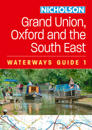
The bestselling guides to Britain’s canals and rivers for more than 50 years. For all users of Britain’s inland waterways. This established, popular and practical guide …
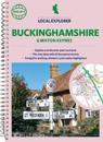
Philip's created this new series for walkers, cyclists and local explorers at a scale that provides greener options to uncover all the nature and hidden gems in your local area. …
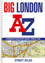
Navigate your way around London with this detailed, easy-to-use and up-to-date A-Z Street Atlas. Large scale A-Z street mapping of London. This A4 street atlas offers the …
Including GPS Waypoint lists and a Place Name Index, this 160-page colour book contains walking routes within the South Downs region. Wire-O spiral binding allows it to lay flat …
Who hasn't explored and enjoyed their surrounding area in recent years and come to appreciate what is on our respective doorsteps? Philip's have created this new series for …
This guidebook features the best traffic-calmed cycle routes of southern England, together forming a continuous route from Dover or Harwich, via London and Bristol to Devon and …
This fully revised and extended edition includes the latest official UKHO data combined with additional information sourced from Imray's network to make it ideal for small craft. …
The only county Street Atlas with all the named streets of Oxfordshire and perfect back-up for emergency services, delivery drivers, visitors and locals.With more than 11,000 named …