Spara
Wrangell/st.elias National Park
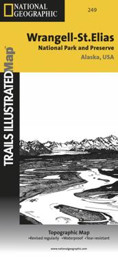
National Geographic's Trails Illustrated Maps are the most detailed and up-to-date topographic recreation maps available for US National Parks, National Forests and other popular outdoor recreation areas. A necessity for exploring the outdoors, each map is printed on waterproof, tear-resistant material. They also contain key safety and contact information, GPS and compass coordinates, Leave No Trace ethical guidelines and hundreds of points-of-interest, including scenic viewpoints, campgrounds, boat launches, swimming areas, marine sanctuaries and wildlife refuges.
- Undertitel
- Trails Illustrated National Parks
- Författare
- National Geographic Maps
- Upplaga
- 2019th Revised ed.
- ISBN
- 9781566953825
- Språk
- Engelska
- Vikt
- 67 gram
- Utgivningsdatum
- 2012-08-02
- Förlag
- National Geographic Maps
- Sidor
- 1