Sökt på: isla
totalt 17 träffar

Western Scotland & the Western Isles
The OS Roadmaps series are single sided folded maps, the 8 maps provide GB 1: 250 000 coverage to enable the end user to navigate and plan their road journey. The maps include all …
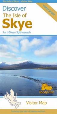
Discover the Isle of Skye
Visitor map of The Isle of Skye - based on OS data with loads of additional information. 1:110,000. In the Discover series from Footprint maps. Printed on waterproof paper. …

South Downs, The New Forest, and The Isle of Wight Cycle Map 4
First in a new series of cycle maps covering the whole country. The maps are all produced at a scale of 1:100 000 showing important features including the National cycle Network. …
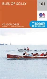
Isles of Scilly
OS Explorer is the Ordnance Survey's most detailed map and is recommended for anyone enjoying outdoor activities like walking, horse riding and off-road cycling. The OS Explorer …

The British Isles by Train and Ferry
A detailed map showing how the rail network, along with ferries to more isolated areas, link to the beautiful landscape and scenery of the British Isles. Map includes National …

Carlisle, Brampton, Longtown and Gretna Green
OS Explorer is the Ordnance Survey's most detailed map and is recommended for anyone enjoying outdoor activities like walking, horse riding and off-road cycling. The OS Explorer …

Isle of Wight Walking Map

Calanques PN Marseille-Cassis-La Ciotat pl air

Canterbury and the Isle of Thanet
OS Explorer is the Ordnance Survey's most detailed map and is recommended for anyone enjoying outdoor activities like walking, horse riding and off-road cycling. The OS Explorer …

Land's End & Isles of Scilly
The OS Landranger Active Map series covers Great Britain with 204 detailed maps, perfect for day trips and short breaks. Tough, durable and weatherproof, covered in a lightweight …

Settle to Carlisle Way
Settle to Carlisle Way. This 138km (97mls)long distance walking route traces the line of the famous Settle Carlisle line. It links all the stations along the way so that you can …

Isle of Wight
OS Explorer is the Ordnance Survey's most detailed map and is recommended for anyone enjoying outdoor activities like walking, horse riding and off-road cycling. Providing complete …