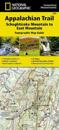
karta, falsad., 2015, Engelska, ISBN 9781597756464
Waterproof, tear-resistant topographic map guide. The Schaghticoke Mountain to East Mountain Topographic Map Guide makes a perfect traveling companion when traversing the …
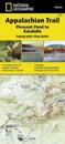
karta, falsad., 2015, Engelska, ISBN 9781597756501
Waterproof, tear-resistant topographic map guide. The Pleasant Pond to Katahdin Topographic Map Guide makes a perfect traveling companion when traversing the northern Maine section …
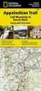
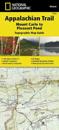
karta, falsad., 2015, Engelska, ISBN 9781597756426
Waterproof, tear-resistant topographic map guide. The Calf Mountain to Raven Rock Topographic Map Guide makes a perfect traveling companion when traversing the northern Virginia …
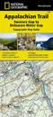
karta, falsad., 2015, Engelska, ISBN 9781597756440
Waterproof, tear-resistant topographic map guide. The Swatara Gap to Delaware Water Gap Topographic Map Guide makes a perfect traveling companion when traversing the north-eastern …
karta, falsad., 2015, Engelska, ISBN 9781597756495
Waterproof, tear-resistant topographic map guide. The Mount Carlo to Pleasant Pond Topographic Map Guide makes a perfect traveling companion when traversing the southern Maine …
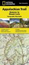
karta, falsad., 2015, Engelska, ISBN 9781597756488
Waterproof, tear-resistant topographic map guide. The Hanover to Mount Carlo Topographic Map Guide makes a perfect traveling companion when traversing the New Hampshire section of …
karta, falsad., 2012, Engelska, ISBN 9781566953658
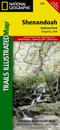
National Geographic's Trails Illustrated Maps are the most detailed and up-to-date topographic recreation maps available for US National Parks, National Forests and other popular …