The Reeds Looseleaf Update Pack provides all the data required to navigate Atlantic coastal waters around the UK, Ireland, Channel Islands, and the entire European coastline from …
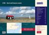
This complete redesign of our 2800 Kintyre to Ardnamurchan chart pack now includes more detailed coverage of the area and comes as a paper and digital edition.
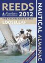
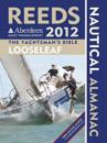
The Reeds Looseleaf Almanac provides all the data required to navigate Atlantic coastal waters around the UK, Ireland, Channel Islands, and the entire European coastline from the …