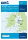
Imray-Tetra charts for the Ionian and Aegean are widely acknowledged as the best available for the cruising sailor. They combine the latest official survey data with first-hand …
Imray-Tetra charts for the Ionian and Aegean are widely acknowledged as the best available for the cruising sailor. They combine the latest official survey data with first-hand …
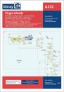
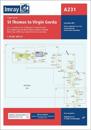
Imray-Iolaire charts for the Caribbean are widely acknowledged as the best available for the cruising sailor. They combine the latest official survey data with first-hand …
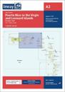
Imray-Iolaire charts for the Caribbean are widely acknowledged as the best available for the cruising sailor. They combine the latest official survey data with first-hand …