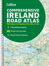
Clear, detailed road atlas of Ireland in a handy A4 spiral-bound format. This comprehensive, general purpose road atlas is ideal for both business and pleasure. …
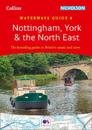
The bestselling guides to Britain's canals and rivers for 50 years.For all users of the inland waterways including boaters, walkers, cyclists and visitors, this established, …
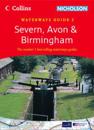
Popular guide covering the canals and waterways around Birmingham and the River Severn. Colour Ordnance Survey(R) maps clearly show locks, towpaths and boating facilities. There …
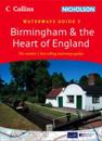
Popular guide covering the canals and waterways around Birmingham and central England. Colour Ordnance Survey(R) maps clearly show locks, towpaths and boating facilities. There are …
This easy-to-use, handy A5 sized road atlas with popular lie-flat spiral binding features extremely clear route planning maps of Britain and Ireland and fits neatly into your glove …
A new title in the best selling Collins/Nicholson Waterways series covering the Broads National Park, including the Norfolk and Suffolk Broads and the Rivers Waveney, Yare, Bure, …
Popular guide covering the canals and waterways between exeter and the River Thames. Colour Ordnance Survey(R) maps clearly show locks, towpaths and boating facilities. There are …
Popular guide covering the canals and waterways in Wales and to the south of Liverpool. Colour Ordnance Survey(R) maps clearly show locks, towpaths and boating facilities. There …