Søkt på: more
Vi gjorde et søk på tittelen istedenfor more som gavtotalt 16 treff

Moneymore, Magherafelt and Cookstown 1900
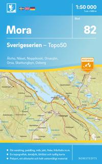
82 Mora Sverigeserien Topo50 : Skala 1:50 000
Sverigeseriens friluftskartor är en serie om 116 kartor med ett täckningsområde som sträcker sig över södra och mellersta Sverige samt Norrlandskusten. Det är kartan för dig som …

Loch Morar and Mallaig
OS Explorer is the Ordnance Survey's most detailed map and is recommended for anyone enjoying outdoor activities like walking, horse riding and off-road cycling. The OS Explorer …

Cairn GormAviemore
Suitable for those who enjoy outdoor activities such as walking, horse riding and off-road cycling, this title provides complete GB coverage.

Explore...Aviemore
A Footprint waterproof, folded map and guide for walkers, mountain bikers and trail runners. Based on OS data, 1:35,000
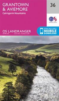
Grantown, AviemoreCairngorm Mountains

Badenoch & Upper Strathspey, Kingussie & Newtonmore
OS Explorer is the Ordnance Survey's most detailed map and is recommended for anyone enjoying outdoor activities like walking, horse riding and off-road cycling. The OS Explorer …

Winchmore Hill 1936

Grantown, Aviemore and Cairngorm Mountains
Perfect for day trips and short breaks, the OS Landranger Map series covers Great Britain with 204 detailed maps. Each map provides all the information you need to get to know your …

Aviemore and Central Cairngorms
Covering an area of 50km^2 and with a large scale of 1:25,000, this map has the familiar look and style of OS mapping, with improved coverage of the featured areas. Aimed at …