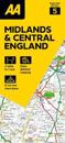
Fully updated, the maps combine clear design and an easy-to-read scale with more road detail to ensure that you never lose your way. Each map includes information on toll points, …
Explore the whole region and area extending from Cockermouth and Penrith in the north to Ulverston and Grange-over-Sands in the south and from the M6 in the east to the coast in …
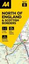
Fully updated, the maps combine clear design and an easy-to-read scale with more road detail to ensure that you never lose your way. Each map includes information on toll points, …
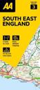
Fully updated, the maps combine clear design and an easy-to-read scale with more road detail to ensure that you never lose your way. Each map includes information on toll points, …
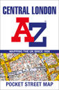
Navigate your way around Central London with detailed street maps from A-Z This fully updated, folded map covers all of Central London, including: Regent's Park, King's …
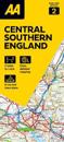
Fully updated, the maps combine clear design and an easy-to-read scale with more road detail to ensure that you never lose your way. Each map includes information on toll points, …
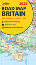
Explore Britain with easy-to-read mapping from Collins. Full-colour, double-sided road map of Great Britain at a scale of 8.7 miles to 1 inch. Northern England, Scotland …
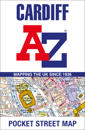
Navigate your way around Cardiff with detailed street maps from A-Z This up-to-date, folded A-Z street map indexes more than 2,000 streets in and around Cardiff. As well …
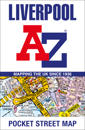
Navigate your way around Liverpool with detailed street maps from A-Z This fully updated, folded map covers all of Central London, including: Regent's Park, King's Cross, …