Hakutulokset: Kirjat kustantajalta hARVEY MAP SERVICES LTD
yhteensä 182 hakutulosta
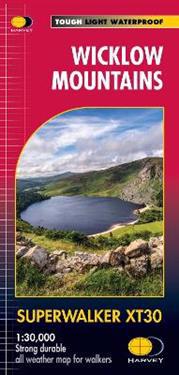
Wicklow Mountains
HARVEY Superwalker Wicklow Mountains map at 1:30,000 scale. Clear, easy to use, waterproof. GPS compatible. Includes the spectacular Glendalough area and sections of St Kevin's …

Isle of Man
Includes long distance routes, rights of way and Public Ramblage. Detailed map for hillwalkers at 1:30,000 scale covering the whole island on two sides of the sheet with a generous …

West Highland Way
Toughdurable - XT40 virtually indestructible. LightCompact. Entire route on one sheet. Cleareasy to read. Full key in English, FrenchGerman. Accommodation and services.

Pennine Way South
Now printed on 100% waterproof and practically indestructable polyethelene paper. Weighing half the weight of a laminated map this updated map from Edale to Middleton-in-Teesdale …

Pennine Way North
The Pennine Way is a National Trail. It follows the backbone of England from the Peak District to the Scottish borders. It is one of the toughest UK long distance footpaths, and …

North Downs Way
More than a map, an essential piece of equipment this new format HARVEY Route Map shows the whole of the North Downs Way on one sheet.

Pitlochry XT25
Covers Pitlochry, Loch TummelBlair Atholl. Includes Ben Vrackie, one of the best viewpoints in the southern Highlands; Pass of Killercranckie and Aberfeldy. Lightweight, detailed, …

Cape Wrath Trail North
Cape Wrath Trail is a challenging route from Fort William to Cape Wrath. It is around 200 miles long and passes through some of Scotland's wildest and most spectacular scenery.

Cape Wrath Trail South
Cape Wrath Trail is a challenging route from Fort William to Cape Wrath. It is around 200 miles long and passes through some of Scotland's wildest and most spectacular scenery.
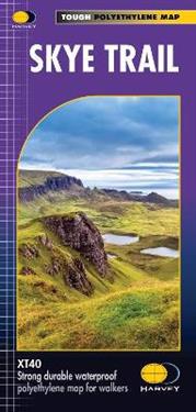
Skye Trail
Entire route on one map The Skye Trail is a challenging unmarked route of 127km (79 miles) through the island of Skye. It is specifically aimed at experienced hillwalkers. The …

Nuuk hiking map (11A) 1:20,000
Nuuk Clear, detailed waterproof map West Greenland. Scale 1:75,000

Peak District Central
HARVEY Superwalker XT25 map at 1:25,000 scale. Shows the heart of the Peak District National Park. Includes Edale, Kinder Scout, the Gritstone Edges and the Ladybower Reservoir. …