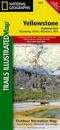
karta, falsad., 2012, Engelska, ISBN 9781566952996
Trails Illustrated topographic maps are the most detailed and up-to-date recreation maps available for these national parks, national forests and popular outdoor recreation areas. …
karta, falsad., 2012, Engelska, ISBN 9781566952958
Trails Illustrated topographic maps are the most detailed and up-to-date recreation maps available for these national parks, national forests and popular outdoor recreation areas. …
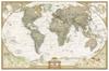
karta, rullad., 2012, Engelska, ISBN 9781597752084
The most up-to-date executive world map from the cartographers at National Geographic, in a smaller poster size. This map features the Winkel Tripel projection to reduce distortion …
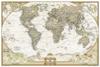
karta, rullad., 2012, Engelska, ISBN 9780792293170
The most up-to-date executive world map from the cartographers at National Geographic, in an enlarged size. This map features the Winkel Tripel projection to reduce distortion of …
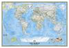
karta, rullad., 2012, Engelska, ISBN 9780792293248
The most up-to-date political world map from the cartographers at National Geographic. This map features the Winkel Tripel projection to reduce distortion of land masses as they …
The most up-to-date political world map from the cartographers at National Geographic. This map features the Winkel Tripel projection to reduce distortion of land masses as they …
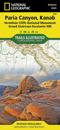
karta, falsad., 2015, Engelska, ISBN 9781566956857
National Geographic's Trails Illustrated Maps are the most detailed and up-to-date topographic recreation maps available for US National Parks, National Forests and other popular …
karta, rullad., 2012, Engelska, ISBN 9780792293200
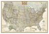
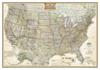
National Geographic Wall Maps offer a special glimpse into current and historical events, and they inform about the world and environment. Offered in a variety of styles and …
National Geographic Wall Maps offer a special glimpse into current and historical events, and they inform about the world and environment. Offered in a variety of styles and …
National Geographic Wall Maps offer a special glimpse into current and historical events, and they inform about the world and environment. Offered in a variety of styles and …