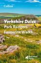
Walking guide to the Yorkshire Dales National Park, with 20 best routes chosen by the park rangers. Each walk varies in length from 2 to 10 km and can be completed in less than 4 …
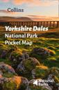
Handy little full colour map of Yorkshire Dales national park. Detailed mapping and visitor information to the national park along with a selection of photographs. Map at a scale …
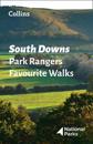
Walking guide to the South Downs National Park, with 20 best routes chosen by the park rangers. Each walk varies in length from 2 to 10 km and can be completed in less than 4 …
karta, falsad., 2021, Engelska, ISBN 9780008439200
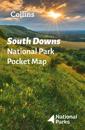
Handy little full colour map of South Downs National Park. Detailed mapping and visitor information to the National Park along with a selection of photographs. Map at a …
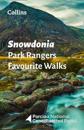
Walking guide to the Snowdonia National Park, with 20 best routes chosen by the park rangers. Each walk varies in length from 2 to 10 km and can be completed in less than 4 hours. …
karta, falsad., 2021, Engelska, ISBN 9780008439224
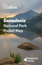
Handy little full colour map of Snowdonia National Park. Detailed mapping and visitor information to the National Park along with a selection of photographs. Map at a …
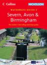
Popular guide covering the canals and waterways around Birmingham and the River Severn. Colour Ordnance Survey(R) maps clearly show locks, towpaths and boating facilities. There …
karta, falsad., 2022, Engelska, ISBN 9780008492571
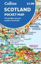
Handy little full colour map of Scotland. Excellent value and very detailed for its size. Double-sided folded map with the Central Belt, southern Scotland and northern England on …
Popular guide covering the canals and waterways between exeter and the River Thames. Colour Ordnance Survey(R) maps clearly show locks, towpaths and boating facilities. There are …
The perfect companions for exploring the National Parks. Walking guide to the Pembrokeshire Coast National Park, with 20 best routes chosen by the park rangers. Each walk …