Walking guide to the Snowdonia National Park, with 20 best routes chosen by the park rangers. Each walk varies in length from 2 to 10 km and can be completed in less than 4 hours. …
karta, falsad., 2019, Engelska, ISBN 9780008320584
An essential companion whether you are travelling around London by car, public transport or on foot. Clear and easy-to-read map of central London and surrounding area. …
karta, falsad., 2021, Engelska, ISBN 9780008439217
Handy little full colour map of Peak District National Park. Detailed mapping and visitor information to the National Park along with a selection of photographs. Map at …
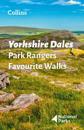
Walking guide to the Yorkshire Dales National Park, with 20 best routes chosen by the park rangers. Each walk varies in length from 2 to 10 km and can be completed in less than 4 …
karta, falsad., 2021, Engelska, ISBN 9780008439200
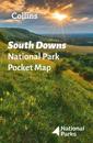
Handy little full colour map of South Downs National Park. Detailed mapping and visitor information to the National Park along with a selection of photographs. Map at a …
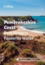
The perfect companions for exploring the National Parks. Walking guide to the Pembrokeshire Coast National Park, with 20 best routes chosen by the park rangers. Each walk …
karta, falsad., 2022, Engelska, ISBN 9780008462666
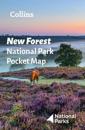
Explore the National Parks with this handy pocket map. Handy little full colour map and guide of New Forest National Park. Detailed mapping and visitor information to the …
A beautiful gift for the adventurers in your family. This atlas of the world presents a complete view of the world, bringing it to life through innovative maps, stunning …
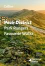
Walking guide to the Peak District National Park, with 20 best routes chosen by the park rangers. Each walk varies in length from 2 to 10 km and can be completed in less than 4 …