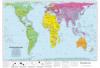
This accurate, colour-coded map shows all areas according to their actual size, with the North-South lines running vertically and the East-West lines running parallel.
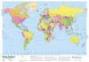
This attractive map of the world clearly indicates the location and borders of each country, as well as the names of the seas and oceans. The Antarctic Circle, Tropic of Capricorn, …