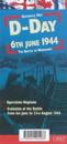
In French and in English, one side shows the position of the different armies and the progression of the Battle of Normandy. The other side features a photograph which shows the …
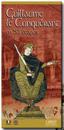
This book tells the story of an outstanding man, intelligent and determined, who conceived and carried out the most formidable military expedition of his time. Born out of wedlock, …
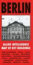
Published specially by After the Battle to coincide with the suspension of Allied occupation rights in Berlin in October 1990, this map was produced in 1944 by the War Office and …
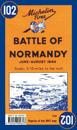
Michelin Battle of Normandy Map 102 covers the region associated with the Battle of Normandy between June and August 1944, at a scale of 1:200,000. Historic WWII reproduction map. …
Mit den alten Wegmarkierungen und der historischen Reviereinteilung der Heide. Umschlag und Begleitheft mit Wissenswertem zur Flora und Fauna, zur Geschichte der Dresdner Heide und …
A full colour map, based on digitised OS maps of Alnwick and Alnmouth of about 1920, with its Anglo-Saxon and medieval past overlain and important buildings picked out.
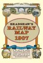
At the turn of the 20th century the rail network extended to over 23,000 miles, very nearly the circumference of the world the greatest length it was ever to achieve. Some urban …
Rose Publishing's Then and Now (R) Relief Maps show the physical details of Bible places including mountains, valleys, rivers, and deserts. See where Bible places are today: red …