karta, falsad., 2024, Engelska, ISBN 9780008653118
Explore the whole county and area extending into Devon as far as Great Torrington, Tavistock and Plymouth. This detailed and up-to-date map contains more than 1,000 places of …
karta, falsad., 2024, Engelska, ISBN 9780008657451
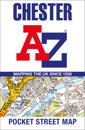
Navigate your way around Chester with detailed street maps from A-Z This up-to-date, folded A-Z street map includes 2,600 streets in and around Brighton. As well as the …
karta, falsad., 2024, Engelska, ISBN 9780008652999
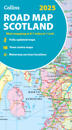
Explore Scotland with easy-to-read mapping from Collins. Full-colour map of Scotland at 8.7 miles to 1 inch, with clear road network and administrative areas shown in …
karta, falsad., 2024, Engelska, ISBN 9780008653125
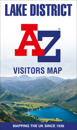
Explore the whole region and area extending from Cockermouth and Penrith in the north to Ulverston and Grange-over-Sands in the south and from the M6 in the east to the coast in …
karta, falsad., 2024, Engelska, ISBN 9780008657475
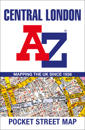
Navigate your way around Central London with detailed street maps from A-Z This fully updated, folded map covers all of Central London, including: Regent's Park, King's …
karta, falsad., 2024, Engelska, ISBN 9780008657437
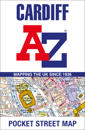
Navigate your way around Cardiff with detailed street maps from A-Z This up-to-date, folded A-Z street map indexes more than 2,000 streets in and around Cardiff. As well …
karta, falsad., 2024, Engelska, ISBN 9780008657352
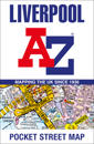
Navigate your way around Liverpool with detailed street maps from A-Z This fully updated, folded map covers all of Central London, including: Regent's Park, King's Cross, …
karta, falsad., 2024, Engelska, ISBN 9780008657468
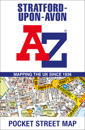
Navigate your way around Stratford-upon-Avon with detailed street maps from A-Z This up-to-date, folded A-Z street map indexes more than 550 streets in and around …
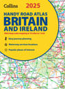
Explore Britain with easy-to-read mapping from Collins. This easy-to-use, handy A5 road atlas with spiral binding features extremely clear route planning maps of Britain …
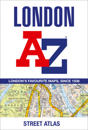
Navigate your way around London with this detailed, easy-to-use and up-to-date A-Z Street Atlas. First published in 1936, this iconic atlas is a trusted means of finding …