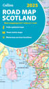
karta, falsad., 2024, Engelska, ISBN 9780008652999
Explore Scotland with easy-to-read mapping from Collins. Full-colour map of Scotland at 8.7 miles to 1 inch, with clear road network and administrative areas shown in …
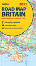
karta, falsad., 2024, Engelska, ISBN 9780008652913
Explore Britain with easy-to-read mapping from Collins. Full-colour, double-sided road map of Great Britain at a scale of 8.7 miles to 1 inch. Northern England, Scotland …
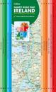
karta, falsad., 2023, Engelska, ISBN 9780008597689
Explore new places with this comprehensive map of Ireland from Collins. An easy-to-use route-planning map covering the whole of Ireland. It has the convenience of an …
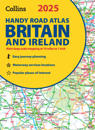
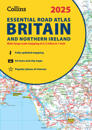
Explore Britain with easy-to-read mapping from Collins. This easy-to-use, handy A5 road atlas with spiral binding features extremely clear route planning maps of Britain …
This easy-to-use, handy A5 sized road atlas with popular lie-flat spiral binding features extremely clear route planning maps of Britain and Ireland and fits neatly into your glove …
Explore Britain with easy-to-read mapping from Collins. The ultimate 3.2 miles to 1 inch scale large-format, spiral-bound road atlas of Britain, featuring Collins’ …
karta, falsad., 2024, Engelska, ISBN 9780008653002
Explore Ireland with easy-to-read mapping from Collins. Full-colour map of Ireland at 9 miles to 1 inch (1:570,240), with clear, detailed road network and counties and …
This A4 road atlas with lie-flat spiral binding provides clear and detailed road mapping for England, Wales and Southern Scotland at a scale of 3.2 miles to 1 inch (1:200,000). For …
Explore Britain with easy-to-read mapping from Collins. This A4, spiral-bound road atlas provides clear and detailed road mapping for England, Wales and Southern Scotland …
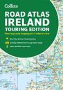
Explore Ireland with this accurate and fully updated road atlas. This road atlas is at A4 size, covering the whole of Ireland and features clear and detailed Collins …