karta, falsad., 2022, Engelska, ISBN 9780008520694
Explore new places with handy pocket maps from Collins. Handy little full colour map of the Cotswolds. Detailed mapping and tourist information ideal for any …
karta, falsad., 2022, Engelska, ISBN 9780008492618
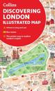
A new edition of London’s most original map. This hand-watercoloured map contains individual paintings of all the main sites and landmarks, shop-by-shop street maps, theatres and …
karta, falsad., 2022, Engelska, ISBN 9780749582814
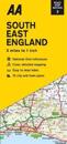
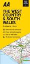
Each map includes information on toll points, service areas, road numbers, motorways, dual carriageways and wide and narrow local roads. National Parks and places of interest are …
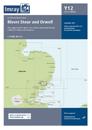
karta, falsad., 2022, Engelska, ISBN 9780749582821
Each map includes information on toll points, service areas, road numbers, motorways, dual carriageways and wide and narrow local roads. National Parks and places of interest are …
karta, falsad., 2022, Engelska, ISBN 9780749582807
Each map includes information on toll points, service areas, road numbers, motorways, dual carriageways and wide and narrow local roads. National Parks and places of interest are …
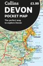
karta, falsad., 2022, Engelska, ISBN 9780008520670
Explore new places with handy pocket maps from Collins. Handy little full-colour map of Devon. Detailed mapping and tourist information ideal for any road …
First in a new series of cycle maps covering the whole country. The first map covers from Lands End in Cornwall to Plymouth. The maps are all produced at a scale of 1:100 000 …
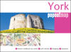
karta, falsad., 2022, Engelska, ISBN 9781914515262
Let PopOut York guide you around this wonderful city. Get to the heart of the historic walled city of York with the help of this genuinely pocket-sized, pop-up map. Small in size …