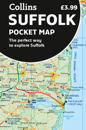
karta, falsad., 2023, Engelska, ISBN 9780008580018
Explore new places with handy pocket maps from Collins. Handy little full-colour map of county of Suffolk. Detailed mapping, photographs, and tourist information. …
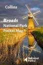
karta, falsad., 2021, Engelska, ISBN 9780008439156
Handy little full colour map of Broads National Park. Detailed mapping and visitor information to the National Park along with a selection of photographs. Map at a scale of …
karta, falsad., 2023, Engelska, ISBN 9780008560546
Navigate your way around Peterborough with detailed street maps from A-Z This up-to-date, folded A-Z street map includes all of the 1,500 streets in and around …
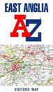
karta, falsad., 2024, Engelska, ISBN 9780749584092
Fully updated, the maps combine clear design and an easy-to-read scale with more road detail to ensure that you never lose your way. Each map includes information on toll points, …
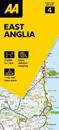
karta, falsad., 2020, Engelska, ISBN 9780008388157
Explore the whole region of East Anglia extending from London to the North Sea coast. Ideal for touring around Norfolk and The Broads and also covers Cambridgeshire, Bedford, …
karta, falsad., 2023, Engelska, ISBN 9780008602970
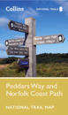
Perfect guide and map for planning your adventure along Peddar’s Way and the Norfolk Coast Path. This incorporates part of the newly formed England Coast Path. …
The OS Roadmaps series are single sided folded maps, the 8 maps provide GB 1: 250 000 coverage to enable the end user to navigate and plan their road journey. The maps include all …