The bestselling guides to Britain’s canals and rivers for over 50 years. This established, popular and practical guide covers the canals and waterways in Wales and to the …
The only county Street Atlas with all the named streets of Suffolk and perfect back-up for emergency services, delivery drivers, visitors and locals.With more than 13,000 named …
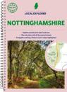
Philip's created this new series for walkers, cyclists and local explorers at a scale that provides greener options to uncover all the nature and hidden gems in your local area. …
This best-selling A3 format atlas is available two binding styles; softback and spiral bound. Each page has been titled with its geographical location so you can turn to the page …
Philip's created this new series for walkers, cyclists and local explorers at a scale that provides greener options to uncover all the nature and hidden gems in your local area. …
THE ONLY COUNTY STREET ATLAS WITH ALL THE NAMED STREETS OF DERBYSHIRE.The UK's best-selling county street atlasesMore than 24,000 named streets, roads, lanes and alleysThe …
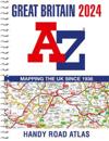
Navigate your way around Great Britain with this detailed and easy-to-use A-Z Road Atlas. A full-colour, spiral bound road atlas, now fully revised and updated. Clear …
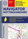
The only county Street Atlas with all the named streets of Nottinghamshire and perfect back-up for emergency services, delivery drivers, visitors and locals.With more than 18,000 …
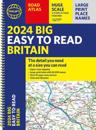
"The detail you need at a size you can read". The latest 2024 Big Easy to Read Britain road atlas from Philip's with: - Large print maps - Huge 1:150,000 scale (approx 2.4 miles to …
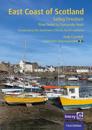
This relatively remote cruising area at the edge of the North Sea has much to offer small and shoal-draught boats that will take the ground, but skippers of larger, deeper keeled …