Arizona's natural beauty and outdoor possibilities are known worldwide. Benchmark's Arizona Road and Recreation Atlas makes it easy to discover the best the state offers. Detailed …
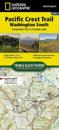
The Washington South Topographic Map Guide follows the Pacific Crest Trail (PCT) as it travels through a landscape dotted with lakes, perennial snowfields, and small glaciers. In …
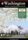
Washington is cool, pristine and evergreen and boasts an incredibly wide range of outdoor recreation. Benchmark's Washington atlas has the latest, most accurate maps and reliable …
Waterproof, Tear-Resistant Fishing & River Map. The Colorado River, Kremmling to Glenwood Springs Fishing & River Map Guide is designed to be the perfect companion for anyone …
The new National Geographic Benchmark Recreation Atlases are an ideal recreation resource complete with accurate, detailed topographic maps. They contain a wealth of robust travel …
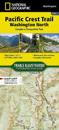
The Washington North Topographic Map Guide follows the Pacific Crest Trail (PCT) as it traverses the heart of the northern Cascades, a remote and rugged environment characterised …
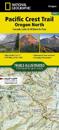
The Oregon North Topographic Map Guide follows the Pacific Crest Trail (PCT) as it passes through a land of contrasts. After crossing the Columbia River, the trail quickly climbs …
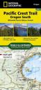
The Pacific Crest Trail (PCT) covered in the Oregon South Topographic Map Guide mostly travels below the high mountain tops and ridges, skirting the bases of the enormous volcanoes …