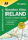
Fully updated mapping based on latest census data, this atlas includes AA-inspected camping sites, viewpoints and service areas. Toll motorways and dual carriageways are clearly …
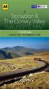
Covering an area of 50km^2 and with a large scale of 1:25,000, this map has the familiar look and style of OS mapping, with improved coverage of the featured areas. Aimed at …
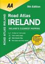
This atlas includes AA approved camping sites, viewpoints, picnic sites, port plans and ferry routes. Plus, motorway strip maps detailing all of Ireland’s motorway junctions. Toll …
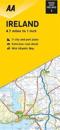
This folded, double-sided sheet map shows the detailed road network with toll motorways and dual carriageways clearly identi? ed. As well as presenting an array of places of …
Covering an area of 50km^2 and with a large scale of 1:25,000, this map has the familiar look and style of OS mapping, with improved coverage of the featured areas. Aimed at …